Drone Services
Powered by cutting-edge technology
Photogrammetry & 3D Laser Scanning Services
Osuna Engineering provides drone photogrammetry and 3D laser scanning services that deliver precise, high-resolution data for civil engineering and land development projects. Our licensed team captures accurate aerial imagery and 3D models to support mapping, site design, and construction monitoring—helping you make faster, data-driven decisions from planning through completion. See how we can help your project with a free consultation.
Full Services
Drone Photogrammetry
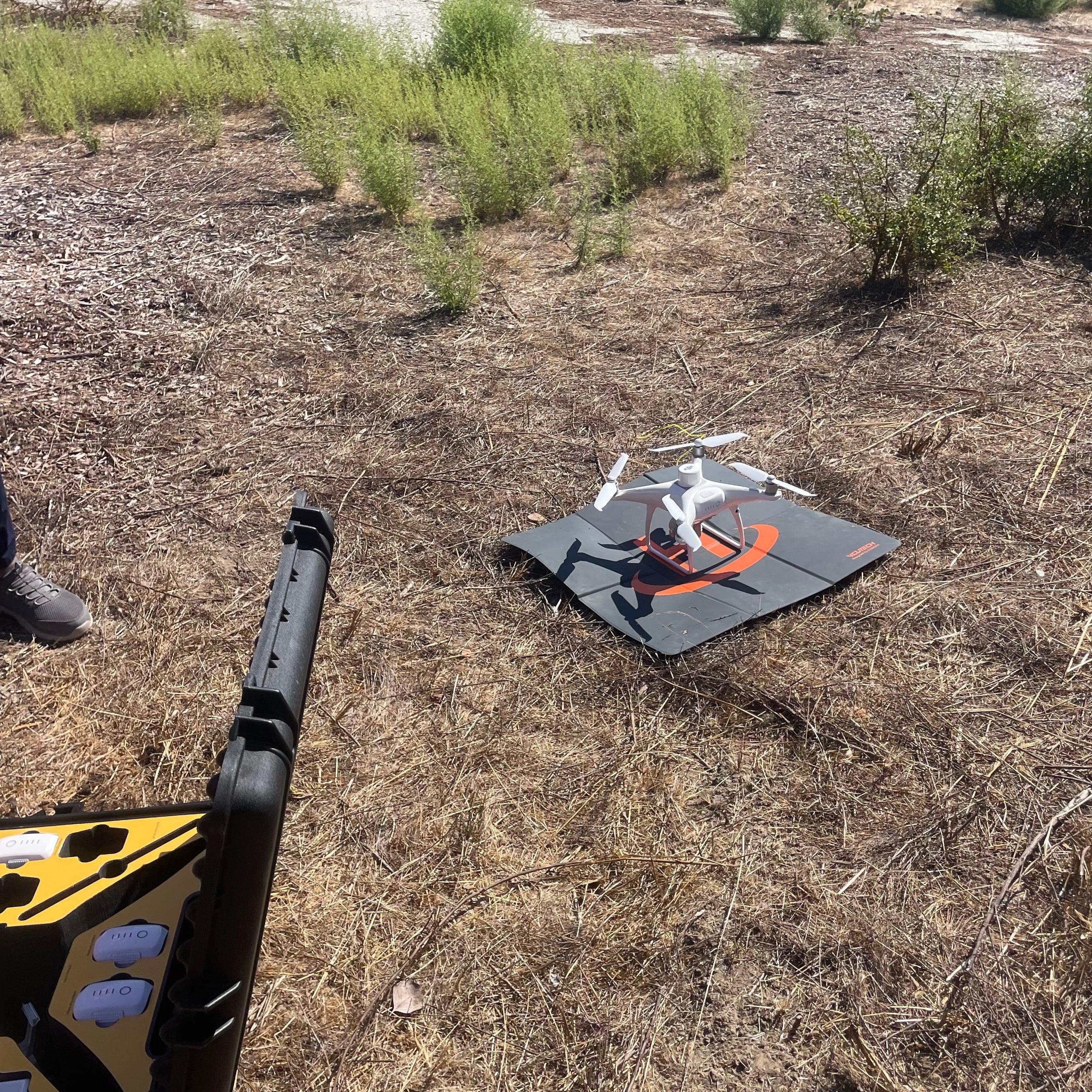
Osuna Engineering is transforming how civil engineering projects collect and analyze site data through drone photogrammetry. Using licensed Part 107 drone pilots, our team captures high-resolution aerial imagery to produce precise 2D maps and 3D models that help engineers analyze terrain, plan designs, and monitor construction progress with unmatched accuracy.
Our drones safely survey large or hard-to-reach areas without the need for manual fieldwork, significantly reducing time, labor, and risk. Each dataset is processed into detailed, actionable insights—empowering project teams to make confident, data-driven decisions.
Benefits of Drone Photogrammetry with Osuna Engineering:
- High-accuracy aerial mapping and topographic modeling
- Reduced field time and on-site safety risks
- Cost-effective surveying and construction monitoring
- Rapid turnaround for engineering and design deliverables
By leveraging drone technology, Osuna Engineering provides faster, safer, and more precise data collection for modern civil engineering projects—helping clients stay ahead from planning to execution.
3D Laser Scanning
Osuna Engineering offers precise 3D laser scanning using advanced technologies including the Pix4D X Emlid LiDAR Scanner and Trimble 3D laser systems. Our scanning capabilities deliver sub-centimeter to millimeter-level accuracy, creating highly detailed 3D models of terrain, structures, and as-built conditions for topographic surveys, volumetric analysis, and design verification.
Our experienced field team sets up and calibrates scanners on-site to ensure full coverage—even in complex or hard-to-access environments. The resulting point-cloud data is processed into accurate, actionable 3D information for engineers, architects, and construction teams.
Benefits of 3D Laser Scanning with Osuna Engineering:
- Detailed digital documentation for every project phase
- Reliable, repeatable measurements for verification and design
- Reduced field time and minimized manual measurement errors
- Enhanced safety and project efficiency
With Osuna’s 3D laser scanning services, clients receive fast, reliable, and fully documented results for every stage of their civil engineering projects—from planning and design to construction monitoring and verification.

Send Request
Frequently Asked Questions
What is drone photogrammetry and how does it work?
Drone photogrammetry uses aerial imagery captured by licensed pilots to create accurate 2D maps and 3D models of a site. At Osuna Engineering, we use FAA-certified drones equipped with high-resolution cameras to gather precise spatial data, helping engineers visualize and measure terrain quickly and safely.
How accurate is drone surveying compared to traditional land surveying?
Modern drone surveying can achieve centimeter-level accuracy, especially when combined with ground control points (GCPs) and professional post-processing. Osuna’s use of Pix4D X Emlid LiDAR and Trimble 3D laser scanners ensures exceptional precision that meets civil engineering and construction standards.
What are the benefits of drone surveying for civil engineering projects?
Drone surveying provides faster data collection, reduces field time, minimizes safety risks, and delivers high-quality aerial imagery and 3D models. For clients across the Bay Area and San Jose, this means more efficient project planning, design validation, and construction monitoring.
When should I use 3D laser scanning instead of drone mapping?
3D laser scanning is ideal for detailed structural analysis, interior measurements, and complex site documentation where millimeter precision is required. Drone mapping, on the other hand, is best for large outdoor areas, topography, and progress monitoring. Osuna Engineering offers both technologies to provide complete, tailored site data solutions.
How much does drone surveying cost in California?
Costs depend on project size, terrain complexity, and the type of deliverables needed. Contact Osuna Engineering for a custom quote based on your site specifications.
Are drone surveys legal for commercial use?
Yes. Osuna Engineering’s drone operators are FAA Part 107 certified, meaning we adhere to all federal airspace and safety regulations for commercial drone flights across San Jose, Santa Clara County, and the Bay Area.
What types of projects benefit from drone photogrammetry and laser scanning?
Our services support a range of projects including site grading, topographic surveys, land development, construction monitoring, and as-built verification. Whether you’re managing a residential build or large-scale infrastructure project, Osuna’s advanced surveying technology provides reliable results every time.