
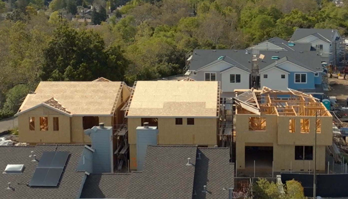
Ft: Private residence
Land Surveying Services in San Jose & the Bay Area
At Osuna Civil Engineering Inc., we provide professional land surveying services that help property owners, developers, and contractors make confident decisions backed by precision data. Based in San Jose and serving the greater Bay Area, our team delivers accurate surveys and certifications that meet the highest standards of compliance, safety, and efficiency.
Full Services
Topographic Surveys
Detailed mapping of your land’s contours, elevations, and features to guide design and development.
Boundary Surveys
Accurate determination of property lines to prevent disputes and support legal documentation.
ALTA Surveys
Comprehensive surveys for commercial real estate transactions that meet ALTA/NSPS standards.
Creek Surveys
Specialized assessments of waterways for flood studies, permitting, and environmental compliance.
Tentative Maps
Draft mapping for proposed subdivisions and property divisions for city review.
Subdivision Mapping
Precise layout of land divisions for residential or commercial development.
Lot Line Adjustments
Official changes to property boundaries to reflect new ownership or land use needs.
Parcel Maps
Legal documentation of property divisions and boundaries for official records.
Plat & Legal Descriptions
Detailed property descriptions for deeds, permits, and transactions.
FEMA Certification
Flood zone determinations and certifications to support FEMA compliance and insurance requirements.
Cross Sections
Vertical profile surveys of land or waterways for engineering and construction analysis.
Staking Plans & Construction Staking
On-site survey staking to ensure buildings and infrastructure are constructed to exact specifications.
As-Built Surveys
Verification surveys documenting completed construction as compared to original plans.
Pad Certification
Elevation certification for building pads, ensuring compliance with city and county requirements.
Foundation Setback Certification
Verifying foundation placement against required setbacks for code compliance.
Roof Height Certification
Ensuring structures meet height restrictions and zoning ordinances.
Daylight Plane Certification
Verification of compliance with local daylight plane regulations to protect neighboring properties.
Right-of-Way Surveying
Surveys to establish, document, and protect public right-of-way access.
Send Request
Frequently Asked Questions
What is the cost for a Boundary and Topographic Survey?
A Boundary and Topographic Survey can be a flat fee or based on Time & Materials, depending on the property lot size, terrain, historical map records, and location of the property. We do a custom research for each potential project to find out if any recent surveys and records exist around the property. Please call us for a free quote!
What is a Boundary Survey?
A Boundary Survey is a land survey that measures and establishes the property lines and corners of a parcel of land and specifies locations of easements pertaining to the land. A Boundary Survey involves extensive research of historical records pertaining to the parcel of land being surveyed and surrounding areas as well as fieldwork to physically identify existing evidence such as monuments for proof of boundaries.
What is the purpose of a Topographic Survey, and how does it aid in project planning and design?
A Topographic survey is a map that depicts the features of the land being surveyed such as natural features, artificial structures, and elevations of the land. This Topographic map is used by Professionals across many industries such as architects, engineers, builders, government agencies, forestry, etc. to visualize the land and identify any features that impact planning and design of the land development.
When is a Record of Survey necessary?
1) When a material evidence or physical change, which in whole or in part does not appear on any previously recorded subdivision map, official map, record of survey, or any map or survey record maintained by the Bureau of Land Management. PLS Act 8762(b)(1)
2) A material discrepancy with the information contained in any previously recorded subdivision map, official map, record of survey, or any map or survey record maintained by the Bureau of Land Management. Material discrepancy is limited to the position of points or in lines, or in dimensions. PLS Act 8762(b)(2)
3) Evidence that, by reasonable analysis, might result in materially alternate positions of points or lines shown on any previously recorded subdivision map, official map, record of survey, or any map or survey record maintained by the Bureau of Land Management. PLS Act 8762(b)(3)
4) The location, relocation, establishment, reestablishment, or retracement of one or more points or lines not shown on previously recorded subdivision map, official map, record of survey, the positions of which are not ascertainable from an inspection of said maps or record of survey. PLS Act 8762(b)(4)
5) The points or lines set during the performance of a field survey of any parcel described in any deed or other instrument of title not shown on any previously recorded subdivision map, official map, or record of survey. PLS Act 8762(b)(5)
What is the cost of a Record of Survey and Corner Record?
The cost of a Record of Survey or Corner Record is dependent on the County’s map review fee, final map mylar/delivery fees, Consultant’s Map preparation fee, which depends on complexity of the available historical records in the area, size of the lot, and available monumentation in the area.